NarragansettBay.com is the crown jewel of maritime domain assets in southern New England. Covering 147 square miles of deep-water tidal estuary with over 400 miles of coastline, Narragansett Bay is the defining marine highway of Rhode Island, connecting the open waters of Rhode Island Sound and Block Island Sound with the historic commercial ports of Newport, Quonset Point, Bristol, and Providence.
The bay is divided into two primary navigation corridors: the East Passage (controlling depth 40 to 60+ feet, accommodating naval vessels, mega-yachts, and commercial freight passing beneath the 215-foot clearance Claiborne Pell Newport Bridge) and the West Passage (flanked by Conanicut Island and the South County mainland, bridged by the 135-foot clearance Jamestown Verrazzano Bridge).
The Narragansett Coastal Trifecta: NarragansettBay.com • NarragansettPier.com • NarragansettBeach.com
A 27-year unbroken heritage portfolio registered in May 1999. In luxury coastal real estate, the entire digital gateway is defined by exact-match geographic authority. A single Narragansett Ocean Road or Point Judith closing ($3.5M–$12M at standard 2.5%–3.0% commission = $87,500–$360,000) permanently pays for owning all three category-defining exact-match .com domains forever.
| Enclave Tier | Price Spectrum | Single-Side Commission | Acquisition Payback Math |
|---|---|---|---|
| Ocean Road Historic Estates | $5,000,000 – $15,000,000+ | $125,000 – $450,000 | 1 transaction repays entire 3-domain portfolio 1.5x–3x over. |
| Gibson Avenue & Pier District | $2,800,000 – $5,500,000 | $70,000 – $165,000 | 1 closing completely funds permanent asset ownership. |
| Great Island Salt Pond Docks | $2,000,000 – $4,500,000 | $50,000 – $135,000 | Single buyer-broker commission covers acquisition forever. |
Live Sensor Baseline & Coastal Navigation Specifications
Live automated marine observations from NOAA CO-OPS monitoring stations paired with authoritative navigation specifications for Narragansett Bay passages and the Port of Galilee.
Narragansett Bay Bridge Vertical Clearances (MHW)
| Bridge Structure | Passage | Clearance (MHW) | Coordinates |
|---|---|---|---|
| Claiborne Pell Newport | East Passage | 215 ft (65.5 m) | 41.5039° N, 71.3414° W |
| Jamestown Verrazzano | West Passage | 135 ft (41.1 m) | 41.5283° N, 71.4011° W |
| Mount Hope Bridge | Bristol Passage | 135 ft (41.1 m) | 41.6394° N, 71.2422° W |
Port of Galilee & Point Judith Harbor of Refuge Specs
| Controlling Channel Depth | 20–22 ft entrance channel; 15 ft inner turning basin |
| State Piers | State Pier 3 & State Pier 4 (240+ commercial berths) |
| VHF Marine Monitoring | Ch 16 Calling/Distress • Ch 09 Port Operations |
| Commercial Fleet Standing | #2 commercial fishing port in New England by landed catch value |
| Marine Fueling | High-flow ultra-low sulfur diesel & ValvTect marine gasoline |
Commercial & Scientific Significance of NarragansettBay.com
Narragansett Bay supports a $5.2 billion annual marine economy spanning commercial shipping, naval defense contracting (General Dynamics Electric Boat at Quonset Point, Naval Undersea Warfare Center in Newport), high-end yacht fabrication and rigging, and world-class oceanographic research at the URI Graduate School of Oceanography.
NarragansettBay.com represents the ultimate exact-match commercial gateway for marine technology enterprises, yacht brokerage firms, private charter operators, and institutional ocean science foundations.
Verified 1997–2002 Narragansett Pier & Rhode Island MLS Receipts
These domains are not owned by an anonymous domain aggregator. They have been held continuously by Gene & Maureen Salvatore (Online Imaging / GreenTree), the exact architectural team who created RILiving.com (the Rhode Island State-Wide MLS) and engineered the online luxury search platform for Lila Delman Real Estate at 41 Ocean Road in Narragansett Pier starting in 1997.
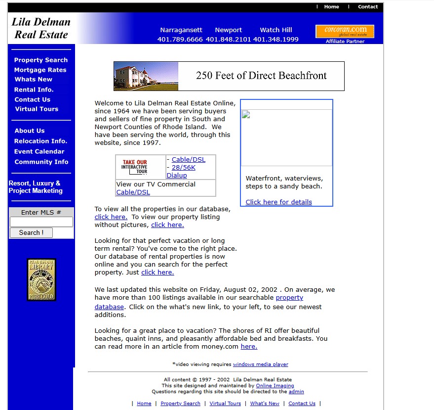 1997–2002 Receipt
Lila Delman Real Estate (41 Ocean Rd)
Narragansett Pier luxury presence designed and maintained by Online Imaging for Christie's Great Estates affiliate.
Verify on Archive.org ↗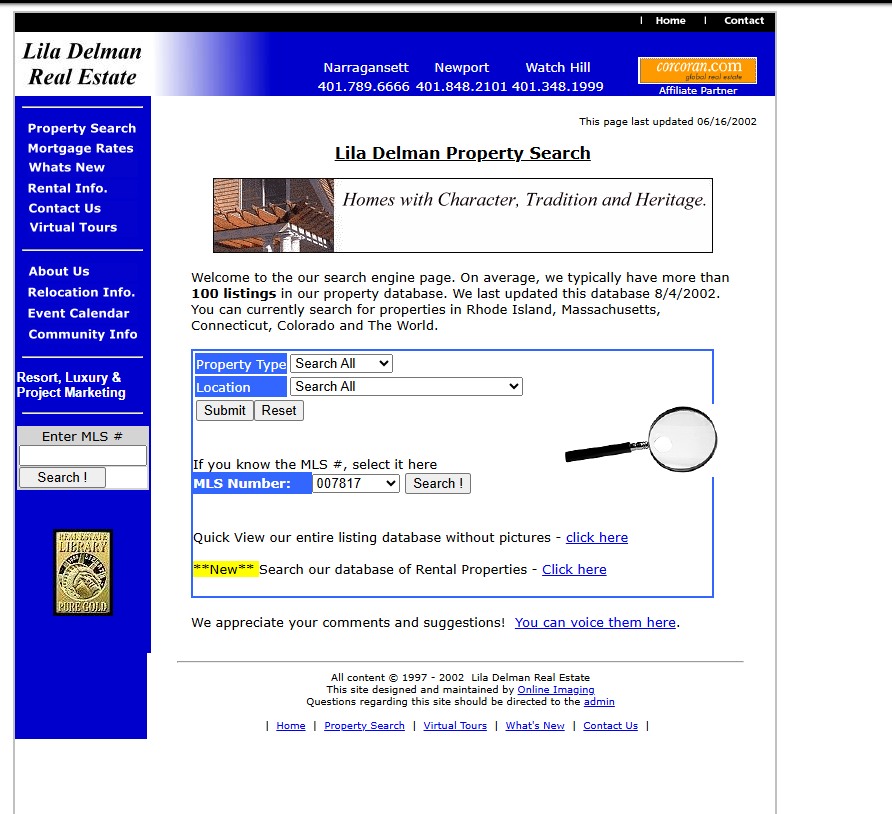 2002 SQL Search
Dynamic SQL Ocean Road Search
Engineered custom relational database search for South County waterfront properties years ahead of modern aggregators.
Verify on Archive.org ↗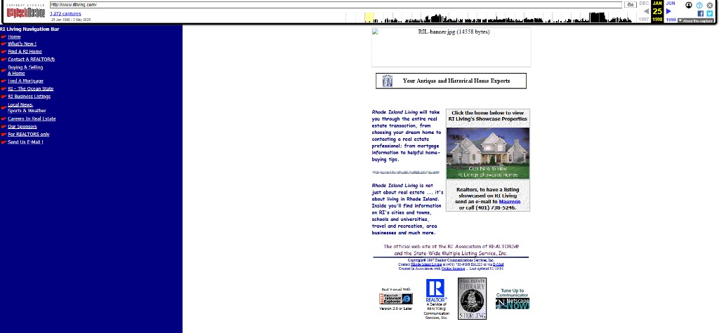 Jan 19, 1998 Launch
RILiving.com (RI State-Wide MLS)
Official launch of Rhode Island State-Wide MLS platform created in association with Online Imaging.
Verify on Archive.org ↗ Feb 1999 Archive
Phipps Realty Online
Engineered for Ron Phipps, who later served as national president of the 1.5-million-member National Association of REALTORS®.
Verify on Archive.org ↗